August 6, 2024
Reading time: 1 minute(s)
Making polygons from input points
Reading time: 1 minute(s)
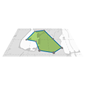
Convert point features to one or multiple polygons.
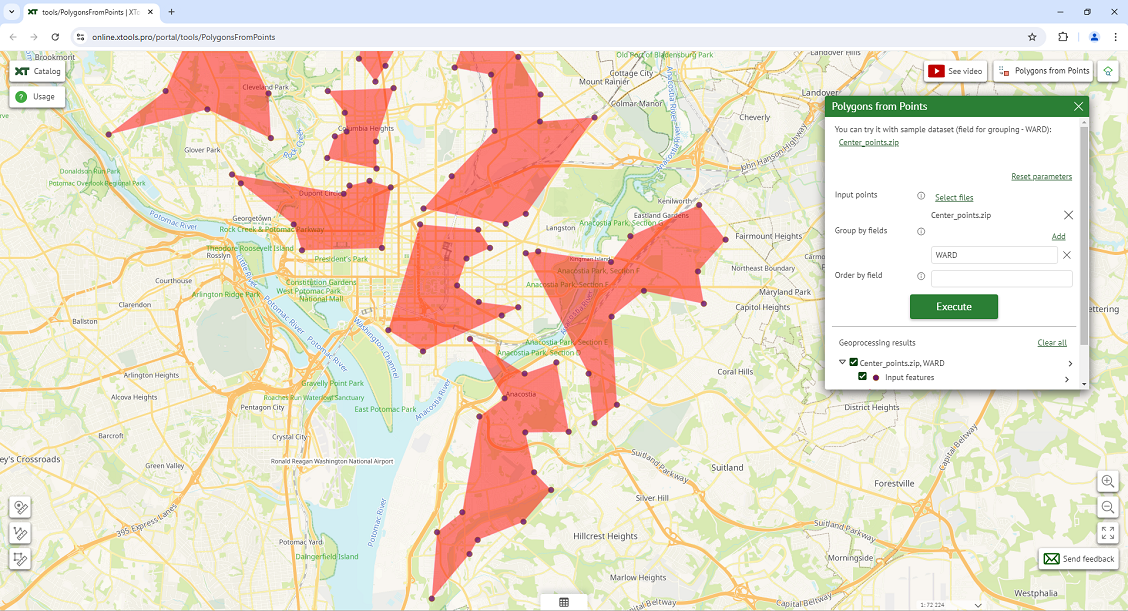
The XTools Pro Polygons from Points tool allows users to create new polygons from input point features.
Users can group or order input points manually adding the names of input attribute fields. These parameters determine how the points are clustered into polygons.
The Polygons from Points tool streamlines the process of creating polygons from point data, making it an invaluable asset for various applications:
- generating precise maps of land parcels by connecting points from cadastral surveys, aiding property management and taxation;
- defining the boundaries of historical landmarks from GPS points collected during surveys.
- creating polygons to establish protected zones around heritage sites to prevent encroachment and ensure conservation.
- planning excavation areas by forming polygons from ordered points marking the limits of archaeological digs.