August 7, 2024
Reading time: 1 minute(s)
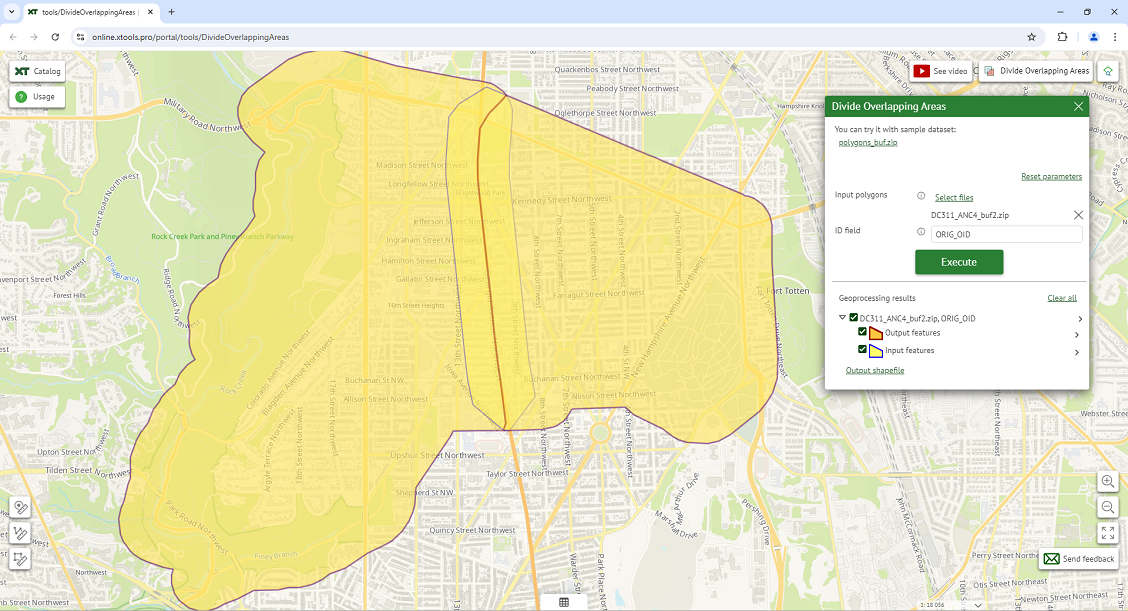
Dividing overlapping polygonal areas
Reading time: 1 minute(s)
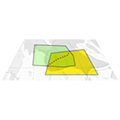
Divide overlapping polygons by the central line of the intersection area.
The XTools Pro Divide Overlapping Areas tool splits overlapping input polygons by the central line of the intersection area.
This tool is particularly useful in applications such as land use planning, environmental management, and resource allocation, where accurately dividing overlapping polygons is essential for precise analysis and decision-making:
- When managing urban land parcels, this tool can help planners subdivide overlapping land parcels to create topographically correct adjacent boundaries.
- In environmental studies, overlapping habitats can be divided to analyze fragmentation effects. That helps in understanding how different species are affected by habitat overlaps and in planning conservation strategies accordingly.
- During the planning of new infrastructure projects, such as roads or pipelines, overlapping planning zones can be divided to prevent conflicts and ensure each segment of the project is clearly defined and managed.